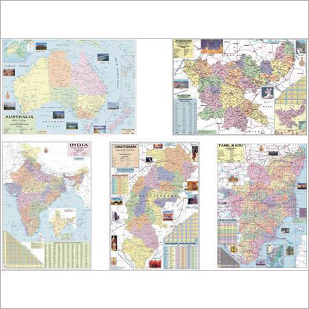
Product Description
We are rated amongst the well-recognized manufacturers, exporters, traders and suppliers of a broad gamut of Maps On Indian States. Provided charts are very informative and are utilized in schools for teaching. At experts' end, this product is precisely manufactured with the aid of the progressive technique and by making utilize of best quality paper in compliance with set international quality parameters. Besides, these Maps on Indian states can be availed in varied sizes to meet the requirements of the patrons.
Features:
- Portable and light in weight
- Easy to read
- Alluring designs
- Smoothly finished
FAQs of Maps On Indian States:
Q: What are the advantages of the Maps On Indian States wall maps?
A: The Maps On Indian States wall maps serve as educational and decorative tools, showcasing detailed information about Indian states and districts.
Q: What are the available surface finishes for the Maps On Indian States maps?
A: The Maps On Indian States maps are available in both glossy and matte laminated surfaces.
Q: What is the function of the Maps On Indian States wall maps?
A: The Maps On Indian States wall maps are designed for geographic education and wall decor purposes, suitable for all age groups.
Q: What materials are used in the construction of the Maps On Indian States wall maps?
A: The Maps On Indian States wall maps are made of high-quality laminated paper or vinyl, ensuring durability and longevity.
Q: Is the assembly of the Maps On Indian States maps convenient?
A: Yes, the Maps On Indian States maps are available in pre-mounted or rolled formats, making it easy to place them on walls without any hassle.

 English
 Spanish
 French
 German
 Italian
 Chinese (Simplified)
 Japanese
 Korean
 Arabic
 Portuguese