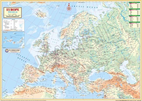
Product Description
Details :
- Showing latest boundaries
- Political features
- Capital cities and important towns
- Certified by Survey of India
- Size 70 x 100 cm
- Printed in multicolor on 110 micron synthetic paper
- Fitted with first quality at top and bottom.
- Available in English language.
Exceptional Print Quality and DurabilityEach map is offset-printed using high-resolution techniques on top-grade paper, resulting in sharp details and vivid colors. Choose optional lamination for waterproof protection and enhanced longevity, suitable for frequent handling or humid environments.
Educational and Reference ValueDesigned with students, educators, and professionals in mind, this physical map offers easy-to-read relief features, major geographical formations, and accurate boundaries of India. Its clear labeling supports geography education and serves as a reliable reference tool.
Customizable Display and PackagingSelect from various mounting options such as rods, rolled tubes, or flat packs to match your space and display style. The maps standard size is 70 x 100 cm, but custom dimensions are also available to meet specific requirements or preferences.
FAQs of India Physical Map:
Q: How is the India Physical Map packaged for delivery?
A: The map is securely rolled in a tube or flat-packed, depending on your selection, to prevent creasing or damage during transportation. This ensures it arrives in pristine condition, ready for immediate wall display or mounting.
Q: What are the benefits of choosing the laminated version of the map?
A: Opting for lamination makes the map waterproof, durable, and easy to clean, which is ideal for high-traffic areas like classrooms or offices. Laminated maps also feature sealed edges for protection against wear and tear.
Q: When should I consider customizing the map size or finish?
A: Custom sizes or finishes are recommended if you require the map for a specific wall space, educational project, or prefer a particular surface finish (glossy or matte) to suit your environments lighting and dcor.
Q: Where can this map be effectively used?
A: The India Physical Map is suitable for use in schools, offices, homes, universities, and public institutions, making it perfect for educational, reference, and presentation needs in any setting.
Q: What features make this map ideal for educational purposes?
A: This map displays comprehensive physical relief details, including major rivers, mountain ranges, and plateau regions, all labeled and color-coded for easy comprehension. Its clarity and scale foster engaging geography and reference learning for all ages.
Q: How do I mount the map upon receipt?
A: You can easily mount the map using supplied rods, frame it, or hang it directly if delivered rolled or flat. Assembly is straightforward, whether laminated or non-laminated, with options tailored to your preferred display method.

 English
 Spanish
 French
 German
 Italian
 Chinese (Simplified)
 Japanese
 Korean
 Arabic
 Portuguese