Product Description
Details :
Size 27x22cm
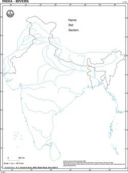
The maps are printed on superfine white paper in internationally accepted two colours.
Black for International Border and Blue for Sea Coast. The maps are exquisitely
drawn and our students will love to work on these.
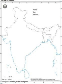
Precise Geographical CoverageThis outline map provides a comprehensive representation of the whole geographical territory of India, including clearly marked state and national borders. It is tailored for educational, school project, and classroom purposes, making it an invaluable resource for geography learning and examination preparation.
User-Friendly and Environmentally ResponsibleMade from eco-friendly printed white paper, the map is lightweight and features a matte surface for easy writing and marking. The double colour outline enhances visibility while being gentle on the environment. Its single-use, disposable nature ensures hygiene and convenience in educational settings.
FAQs of India Outline Map:
Q: How can the India Outline Map be used effectively for classroom or school projects?
A: This map is ideal for marking boundaries, highlighting geographical regions, or referencing specific states and national borders. Its matte surface supports smooth writing, making it perfect for school projects, exams, or group learning activities.
Q: What printing technique is used for this map and how does it impact the quality?
A: The outline map is produced through offset printing, ensuring crisp, clear boundary lines and consistent double colour coding, which enhances both visibility and the learning experience.
Q: When is this map most suitable for use?
A: It is best utilized during educational sessions, geography lessons, school projects, or examination preparations when students or teachers need to reference or mark regions of India.
Q: Where can this India Outline Map be used?
A: The map can be utilized in classrooms, educational institutions, at home for study purposes, or in examination halls for reference assignments.
Q: What is the benefit of the prominent border highlighting on this map?
A: Prominent highlighting of state and national borders makes it easy for students to distinguish and mark various regions, aiding in better understanding and retention of Indias geography.
Q: How is the map packaged, and is there any identification for tracking?
A: Each map is packed in a sheet pack and features a barcode on the packaging, along with a unique item code (3544181) for easy identification and inventory management.
Q: Is the map customizable or reusable?
A: This India Outline Map is not customizable and is intended for single use; however, its eco-friendly paper ensures minimal environmental impact upon disposal.

 English
 Spanish
 French
 German
 Italian
 Chinese (Simplified)
 Japanese
 Korean
 Arabic
 Portuguese